- Sustainable Planet -
- 7mins -
- 1,837 views
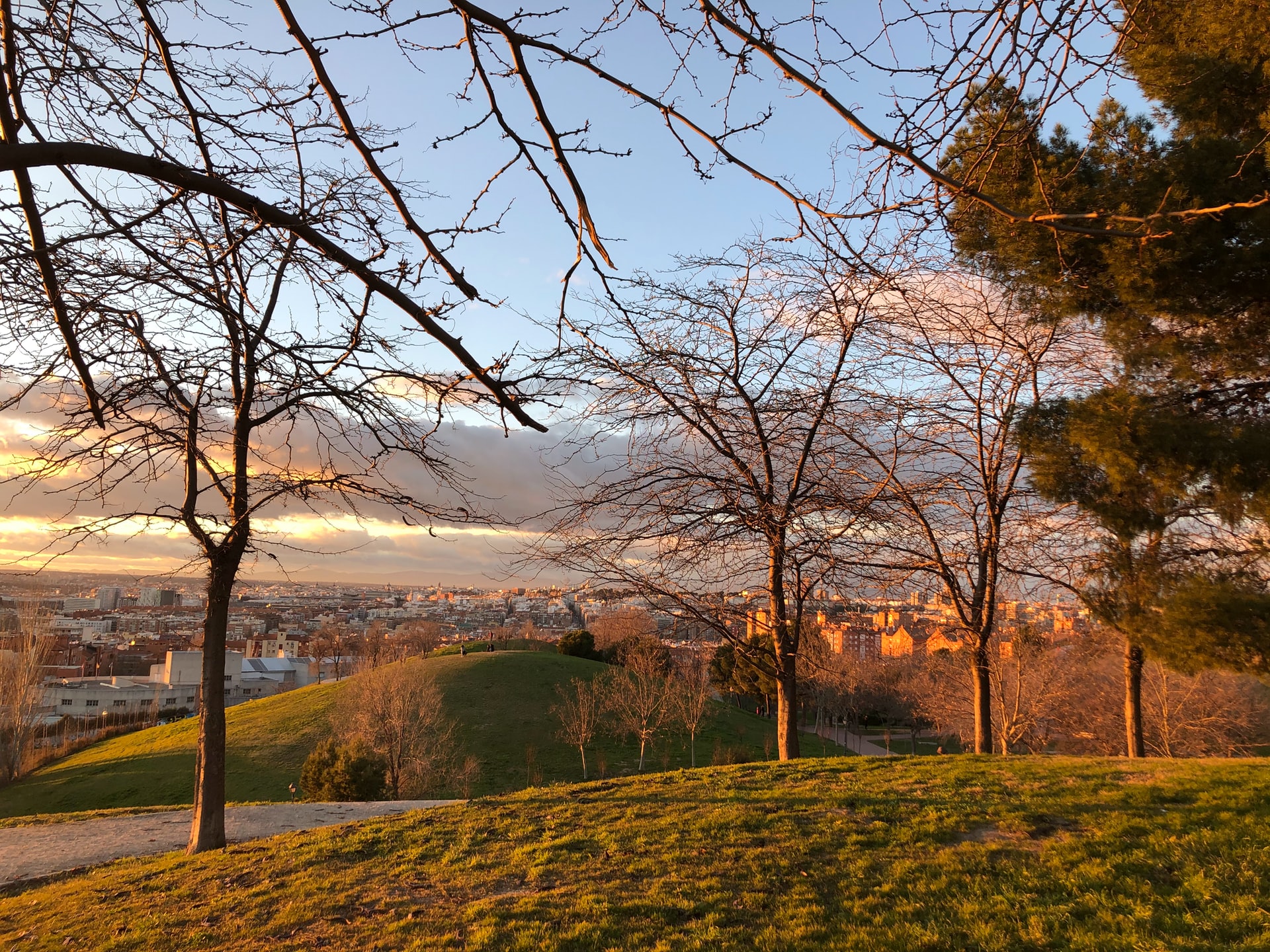
Madrid is Planting a Massive Forest Ring Around the City to Combat Climate Change
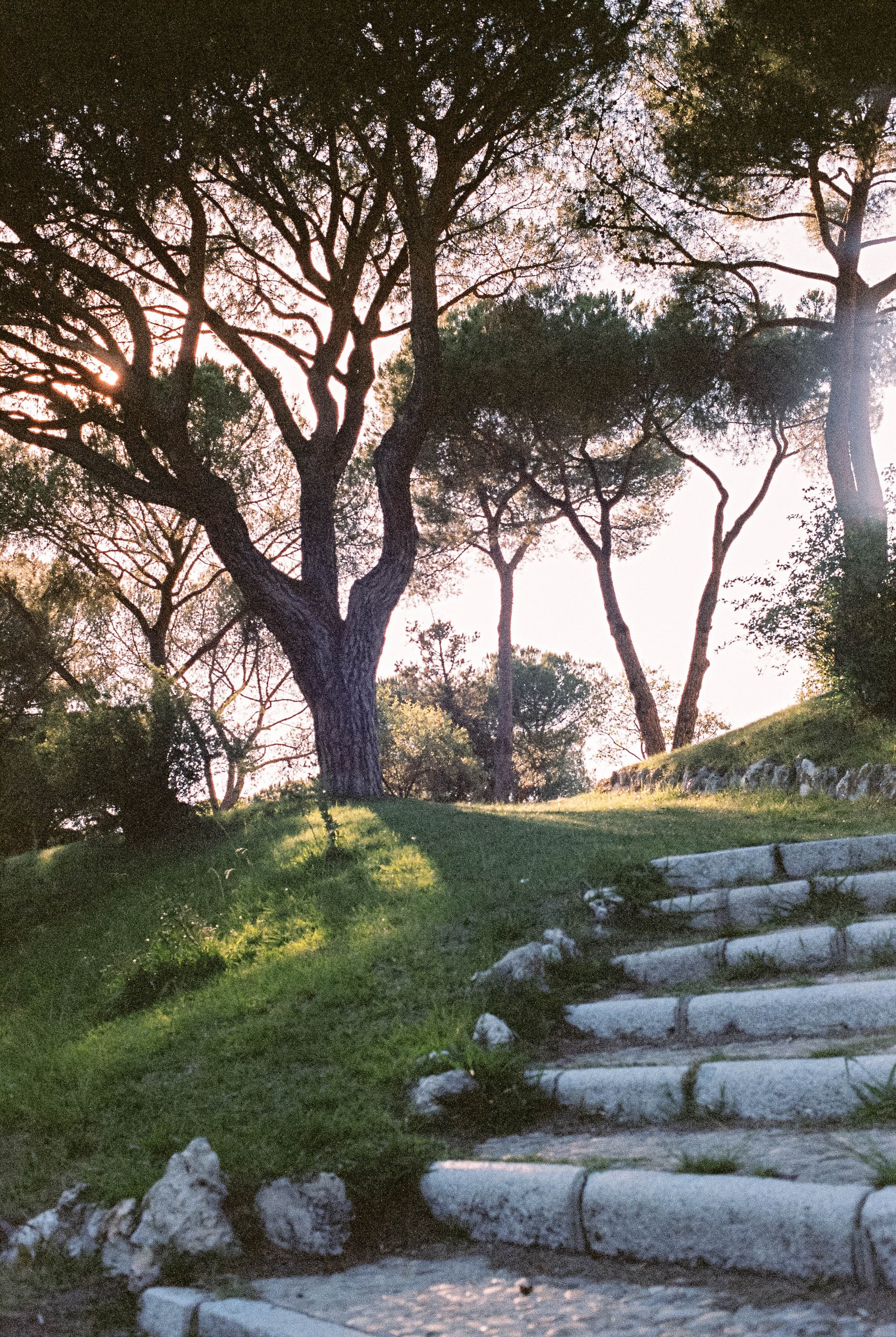
The Spanish capital is building a 75-kilometre green wall around the city—an urban forest of nearly half a million new trees—in a bid to lower heat levels and cut CO2 emissions.
green ring road of Madrid to improve air quality and decrease ‘heat island’ effect
Madrid begins the transformation of its urban perimeter with the construction of the ‘Metropolitan Forest’, a forest crown that will connect the protected natural areas of El Pardo, to the north, with the lower courses of Manzanares and Jarama, to the southeast.
The project covers 14,200 hectares and provides for the planting of up to 450,000 trees of native species; a green infrastructure that will extend over 75 kilometres around the capital, and which will contribute to the rebalancing of the city, the reduction of CO2 emissions, the fight against climate change, the ecological and landscape restoration of degraded areas and increase the supply of pedestrian and cyclist zones, as well as benefit the health of the population.

A green infrastructure of 75 kilometres to surround Spain’s capital
The City Council of Madrid held a competition to design the Metropolitan Forest, which will be built over 12 years at a cost of €77 million euros ($91.5m) to the municipal coffers. During the first year, action will be taken in six districts on an area of 70 hectares (173 acres).
The radial growth of the capital has generated a number of situations where neighbourhoods have physically grown apart at the outer edges. The project, promoted by the Urban Development Area of Mariano Fuentes (Citizens), is hoped to stitch the fragmenting city back together. At the same time, it will restore the ecological environment, while reducing the impact of polluting emissions.
The planning of the Forest was divided into five areas or lots, each with different landscape and environmental needs.
In total, 33 projects of different nature and nationality participated. The jury valued these their overview, integration into the territory, the repair of damaged ecosystems or communication with the rest of the city. The winners were selected in June 2020.
Between natural mountains
The northwest section of the forest ring road will connect the hills of El Pardo with the hills of Valdelatas and the Casa de Campo, allowing access by the M-607 and M-40 highways. The plan incorporates the re-naturalisation of the path parallel to the river course, creating a pedestrian and bicycle path and intensifying the planting of riverside species. A rehabilitated San Fernando Bridge will serve as a link with the northwest stretch of the green cycling ring, which already surrounds the urban center of the capital.
In the Valverde neighbourhood, Fuencarral district, an ornithological interpretation center will be installed, where you can learn to recognise the imperial eagle and other steppe and insectivorous birds. At this point the signage of the Camino de Santiago and the accesses to the Quinta del Duque del Arco, a 17th-century retirement house surrounded by a thick baroque garden owned by National Heritage, will be adapted.
Behind this small palace are the grounds of the Hunter’s Mine, adjacent to Aravaca, which will house sports facilities – soccer field, basketball court, skating and hockey – and a concessionaire area with restaurants and minigolf.
Uniting urban parks
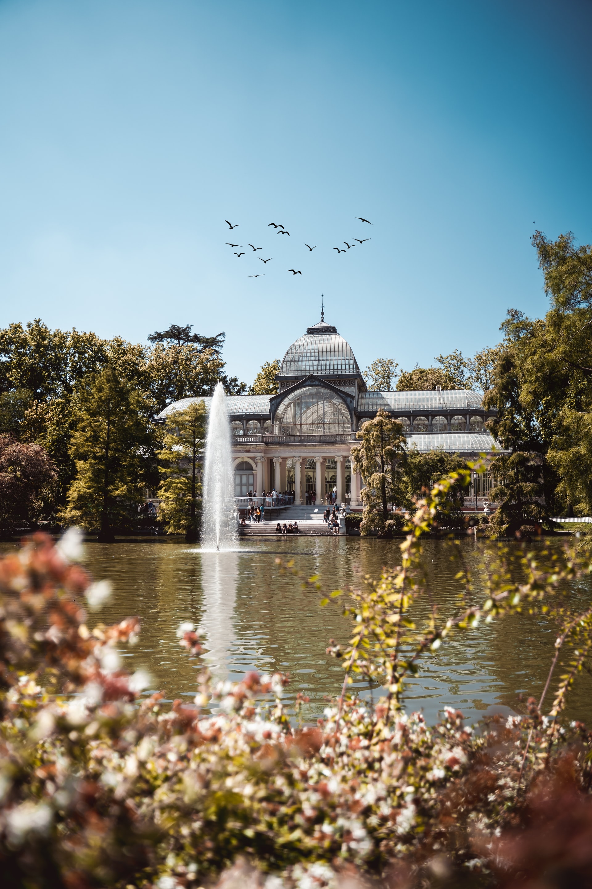
The space of this second lot is located to the northeast, heavily guarded by buildings from Valdebebas and the fairgrounds to Vicálvaro. However, it contains elements of environmental value – such as the southern edge of the Oak of the Kings, the Juan Carlos I Park, the Capricho Garden, the O’Donnell wedge or the La Elipa Park – that until now remained segregated by means of large road infrastructures. The winning project will join these green areas thanks to a large forest avenue, which will also lift slopes as natural barriers against the noise of the adjacent roads.
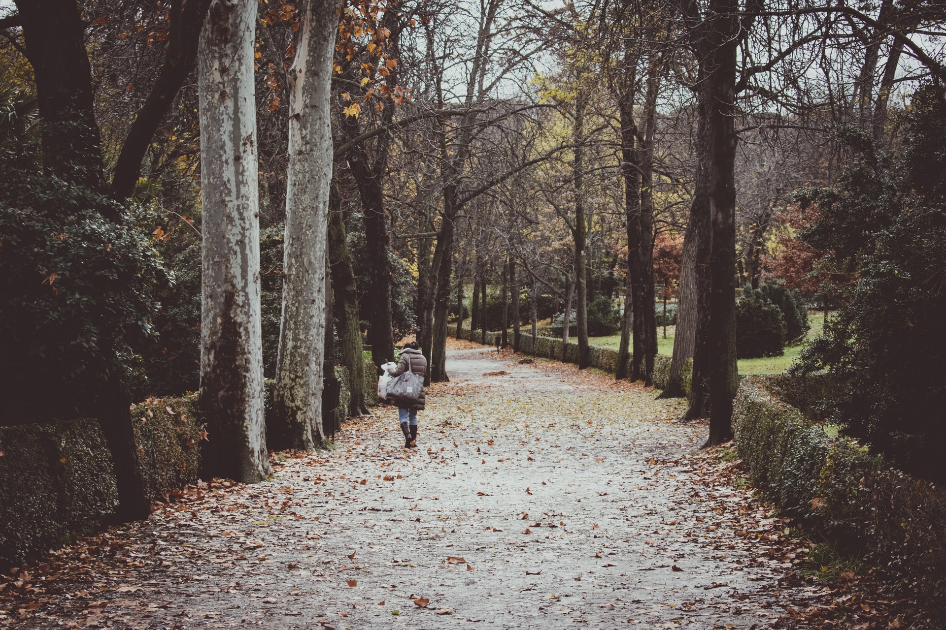
The backbone will extend for almost 24 kilometres and will link all existing parks through a path aimed at pedestrians and cyclists, who will circulate on separate roads, three meters wide for the first and four for the second. The ditch of this avenue stores the rain in order to allow the maintenance of deciduous wooded species, which "provide shade during the summer and allow sunny walks in the winter." The road will be marked by kiosks, restaurants, toilets, bicycle rental stands and convertible electric vehicles, useful for people with reduced mobility.
The green ring of the southeast
This area is located on the Jarama and Manzanares valleys. It is a network that integrates various agricultural roads and forest paths with livestock roads connected to the Southeast Regional Park. Among them stands out the Cañada Real Galiana, the largest irregular settlement in Europe that has no electricity supply for five months.
The plan will not alter the morphology of that conflict zone, but the surroundings where the Valdemingómez residual plant is also erected. The project seeks to mitigate bad odours, which are already combated with chemical systems, through tree species.
The area will communicate with El Cañaveral thanks to an elevated platform where today a roundabout sits that breaks the ecological continuity of the Cañada Real. The basement of that wooded passage will house a new station on Metro line 9, called Los Migueles, which will be preceded by another stop, Ermita Virgen de la Torre.
In the area of the Ahijones, bordering Rivas Vaciamadrid, there will be a sports area with outdoor equipment. This sector is separated from the rest of the capital because of the M-45, which Gistau will solve by recovering old roads that will serve San Fernando de Henares and Coslada. The plan includes the creation of a naturalised cemetery.
The river parks of the south
The fourth lot of the Metropolitan Forest will integrate the Manzanares basin with La Gavia stream and the periphery of the capital: Entrevías, La Atalayuela, Mercamadrid and Butarque. An ideal topography for treatment plants turned this area into a "drain of the city," to which is added its "condition of access to Madrid," as indicated by the designer Iñaki Alday. His project seeks to re-naturalise landfills to recover or create new habitats; widen the ditches of the roads, turning them into axes of ecological continuity, and make the treatment plants copious springs that transform the landscape.
Mobility will be structured by a walk on both sides of the course of the river, from the Linear Park to the Manzanares-Jarama Agrofluvial Park. In addition, this vertical axis is reinforced with the transformation of Avenida de los Rosales (Villaverde), today designed for cars, into a wooded walk with a bike path.
In a transversal way, the plan includes the conditioning of other minor roads that will improve the connection on foot with Getafe. It is also proposed to open specific steps through the hydraulic infrastructures that currently produce barriers and discontinuities. The new urbanisations planned in the Gavia area (Villa de Vallecas) already provide connections between one shore and the other.
The metropolitan ring
This section contemplates the integration of the southwest urban system (Getafe, Leganés, Alcorcón) with the Casa de Campo. Rubio Arquitectura’s project, signed by the cartoonist Carlos Rubio Carvajal, aims to extend the existing cycling ring to the metropolitan area, connecting the Manzanares River with the Guadarrama.
In this area are the two biotypes present in the Community of Madrid: the mountains and the plain. A territory where the lush vegetation of the mountains converges with the dry plain of the conurbation. The plan will be accompanied by a new protection for the degraded Dehesa de los Carabancheles and the corridor of the Butarque stream.
A forest nursery will support the slow recovery of the Dehesa de los Carabancheles. In Cuatro Vientos an agro-ecological park is projected that turns the sidewalk of the M-40 into a fertile environment. This new green perimeter will house an anthropological center that must promote citizen activities. The plan also conceives of the de-industrialisation of the Villaverde polygon, where a new lung for the city will be created from scratch.
The Arcelor factory will have a new life thanks to the installation of the Environmental Restoration Center of Madrid, an institution in charge of monitoring the management of the entire Metropolitan Forest.
Sources: EL PAÍS & SFERA Proyecto Ambiental, S.L.